Our flight landed around 10 Pm at the Lima airport. We already had Peruvian visas stamped at the consulate in Seattle. However there were a few problems in the Lima immigration. First no one spoke English. They asked me a few questions in Spanish which I answered [like "cuatro dias" - 4 days stay etc]. However the passport was not being receptive to machine scanning, and they told something which I did not understand at all. They were not sure if the Peru Visa was Ok or not. Then some senior officer saw my passport, spoke some English and found the visa to be ok, and stamped and let us in.
Once we cleared the customs, our tour agent representative "Noy" was waiting with Divya's name tag. He introduced to our driver "Gilbert" and drove us towards hotel Britania in Miraflores.
It was night 11 Pm now, but we saw lots of police doing their rounds. Noy explained that MiraFlores is a tourist area, and the police take lots of efforts to keep it secure 24 hours a day. He told us it was safe to walk even at midnight in this area. We then slept off.
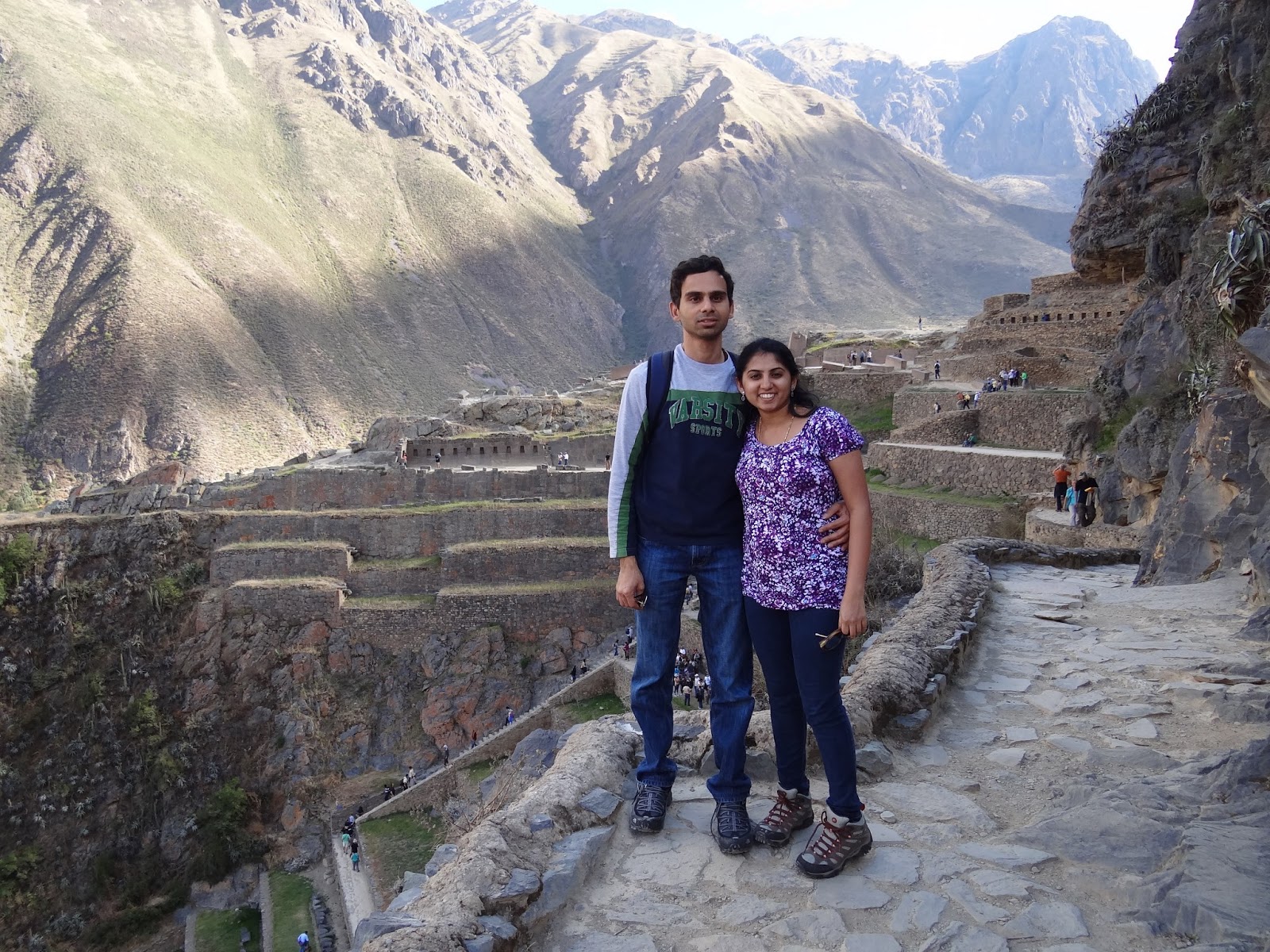
The next day (May 10th), we had a group city tour of Lima around 9:30 Am. After having some decent breakfast at the hotel, we were then taken in a bus. The tour was Ok, but for the most part, we were inside the bus around the city.
The first stop was some old ruins [Huaca Pucllana]. We were asked to see this from the bus itself as no visitors are allowed inside.
 |
| Huaca Pucllana ruins |
Next the bus went around various parts of the city. The traffic was right side driving, cars were similar to USA, driving conditions was better than India, but not as good as USA/Europe. Lane discipline was followed in many cases. Pollution levels were also much lower than India.
Some photos of the city:
Then the bus stopped in a museum. Never a fan of museums, this was very much uneventful.
The guide was surrounded by too many people, and I had no idea what he was talking about.
After that, the bus took us to the main touristy spot in Lima. The famous San Francisco cathedral, and the "Plaza de Armas" was seen, and we took some pictures here.
 |
| Inside the museum |
Photos from main touristy spot [Plaza de Armas]
 |
| San Francisco Cathedral |
The Spanish used to build churches whenever they conquered some place. This was show the superiority of their god. Most churches were built for this reason. Under the San Francisco church, the basement was filled with lots of human body bones. The guide mentioned that it was done because the local people believed that they would go-to heaven if their body was buried close to God.
During this tour, we went an interesting old couple. They were living in a sail boat, and they were just travelling to different countries in that boat. They had plans to travel to Chile, Ecuador, Galapagos, Hawaii, Polynesia using that boat. When asked how long they plan to do this, they said "throughout their life". It is not easy doing this on sail boats, and I was awestruck. We took a photo with them towards the end of the tour.
 |
| The interesting couple living in sail boat |
Around 1:45 pm, the bus dropped off at our hotel. Next was the interesting thing. We had to go for lunch looking for vegetarian food. I heard of "El Almazen" near our hotel from happycow.net.
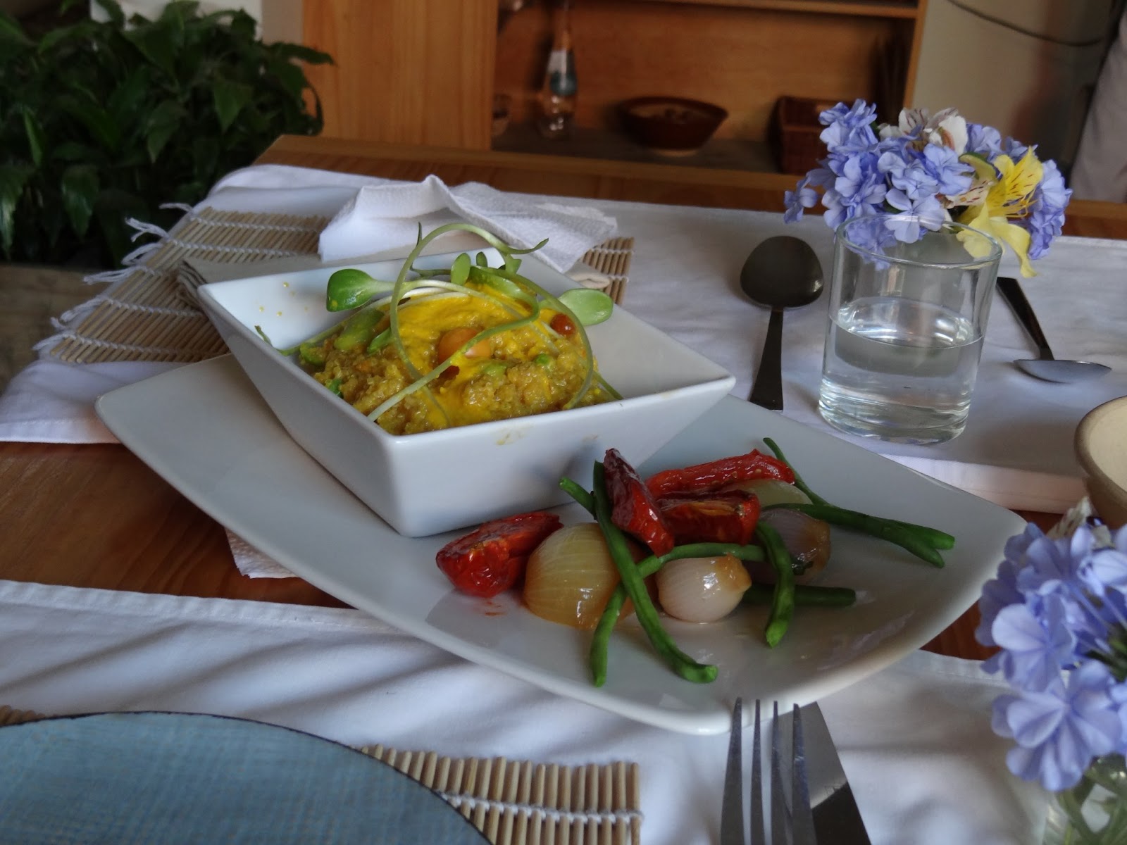
We found that place by walking around and asking for directions. It was a cute little place in some quiet corner. The menu was all in Spanish. I asked the waitress about each dish, did not clearly understand, so ordered 2 dishes which were supposed to be Peruvian. The food was served 30 minutes later as it was freshly prepared. The dishes turned out to be really awesome. Never tasted such a unique flavor before, and we finished off both the dishes [one a potato based dish, and the other was a quinoa based dish]. We also ordered some queen fruit juice, which was thick and filling.
After this we went shopping around the Miraflores district. Did some bargaining in Spanish to buy a few soveneirs, needless to say it was fun. We also found a "Hare Krishna" restaurant named "Govinda". This was a veggie restaurant serving Peruvian dishes. It was closing at 5 Pm, so we were not to have dinner here.
 |
| quinoa based dish at El Almazen. |
 |
| Awesome food at El Almazen |
 |
| Govinda, Govindaaa!! |
Then that night, we were trying to find some veggie food for dinner. We went to El Almazen again, but it was closed. Most restaurants close down for dinner. There was one veggie place called "Sabor y Vida". The only dishes they had were fried potatoes and some sweet corn. The dinner was a let down, but atleast we filled our stomachs with something. On the way back to the hotel from the restaurant, we got some icecreams from a posh place. But the ice creams were totally bad in taste. So it was not a evening to remember, and we slept off in preparation for the early flight next morning.